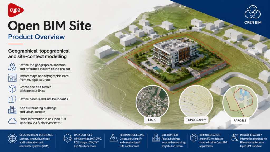
Open BIM Site defines the geographical location, terrain, maps, parcels and surrounding buildings of a project site within a coordinated Open BIM environment.
Open BIM Site is a site-modelling application for defining the initial conditions and geographical context of a construction project. It allows users to establish the project location and coordinate system, import maps, create topographic surfaces and model surrounding parcels and buildings.
Overview
Open BIM Site is a site-modelling application for defining the geographical and physical conditions of a construction project before detailed building design begins.
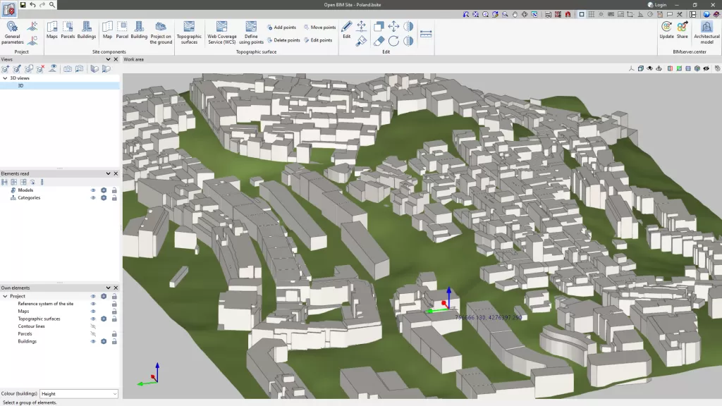
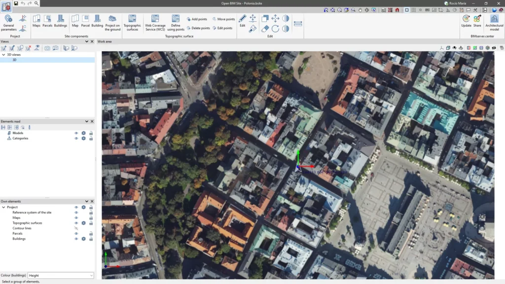
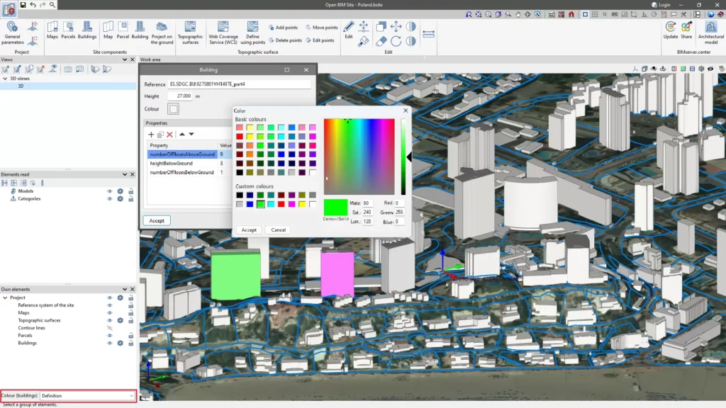
Users can establish the project location, coordinate reference system and north orientation, then add maps, topographic surfaces, parcels and surrounding buildings to create an accurate 3D representation of the site.
The resulting site model provides useful context for architectural, energy and multidisciplinary BIM workflows. Project information can be shared through BIMserver.center and transferred directly to applications such as CYPE Architecture for further development.
Applications
Project geographic positioning
Site coordinate and north definition
Topographic surface modelling
Map and terrain integration
Parcel and plot definition
Surrounding building modelling
Site-context visualisation
Terrain and map projection
BIM model georeferencing
BIMserver.center project coordination
Product Resources
Watch the official product video or download the technical datasheet for more detailed information.