The industry standard for 3D subsurface modeling, turning complex geological data into clear, actionable digital twins for civil engineering and environmental projects.
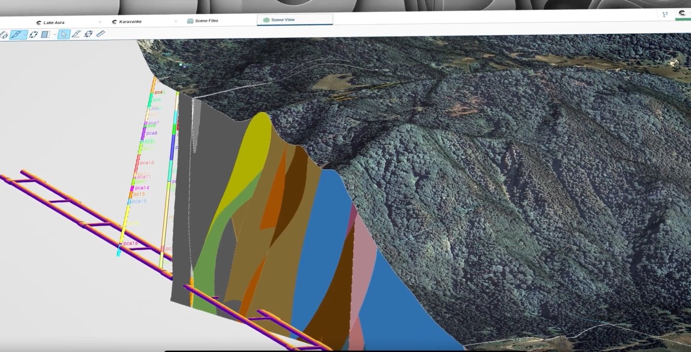
Leapfrog Works is a dynamic 3D geological modeling solution designed specifically for the civil engineering, environmental, and energy sectors. Unlike traditional modeling tools, Leapfrog uses an implicit modeling engine to rapidly process borehole data, contact surfaces, and faults into high-fidelity subsurface representations. It bridges the gap between raw geological data and engineering design, allowing teams to visualize the “unseen” underground with professional precision. By creating a continuous workflow from the field to the office, it ensures that geological risk is identified and mitigated early in the project lifecycle.
Leapfrog Works provides a highly visual, data-driven environment for subsurface interpretation. It enables engineers to build complex 3D models from varied data sources—including GIS, CAD, and borehole logs—without the need for manual digitizing. Its dynamic update capability means that as new data is added, the model evolves instantly, ensuring that the engineering team always works with the most current geological truth.
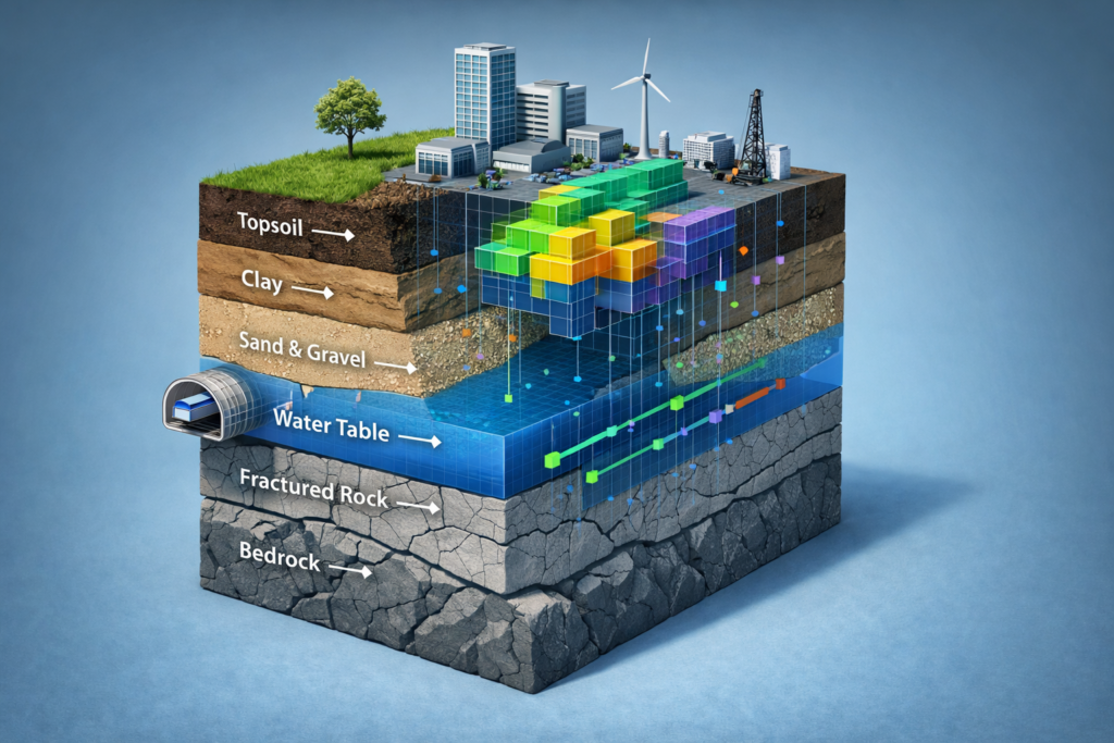
Infrastructure Tunnelling — Model complex rock mass and soil strata to optimize tunnel alignment and excavation safety.
Groundwater Evaluation — Visualize hydrogeological units and flow paths to manage water resources or contaminant plumes.
Foundation Design — Create detailed 3D site models to inform piling depth and soil-structure interaction analysis.
Environmental Remediation — Map subsurface contaminants in 3D to plan accurate extraction and monitoring strategies.
BIM Integration — Seamlessly export geological surfaces into BIM environments to provide a holistic view of the built and natural world.
Watch a introductory video for Leapfrog
View the product video on YouTube to learn more about its capabilities, workflows, and use cases.