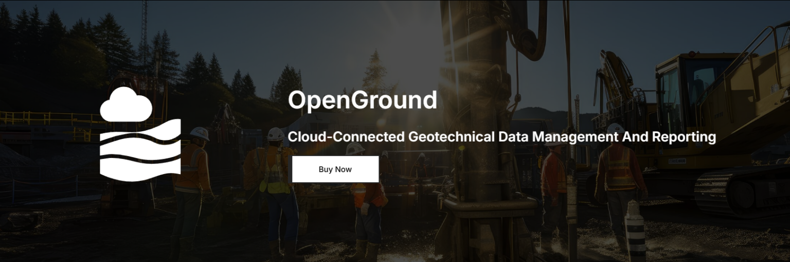
OpenGround is Bentley Systems’ cloud-based geotechnical data management platform used to collect, report, and share subsurface information. At Hertford Systems, we use OpenGround to help engineering teams centralize their ground investigation data, ensuring better risk management and collaboration across the project lifecycle.
OpenGround is Bentley Systems’ comprehensive solution for geotechnical data management that enables engineers to store and access subsurface information in a single, secure cloud environment. It replaces fragmented spreadsheets and disconnected files with a unified “single source of truth” for borehole logs, laboratory testing, and site investigation data. By providing a centralized platform, OpenGround allows teams to move seamlessly from field data collection to 3D modeling while maintaining data integrity and auditability. The platform supports modern digital engineering workflows, helping infrastructure owners and geotechnical firms accelerate data delivery and reduce the risks associated with unforeseen ground conditions.
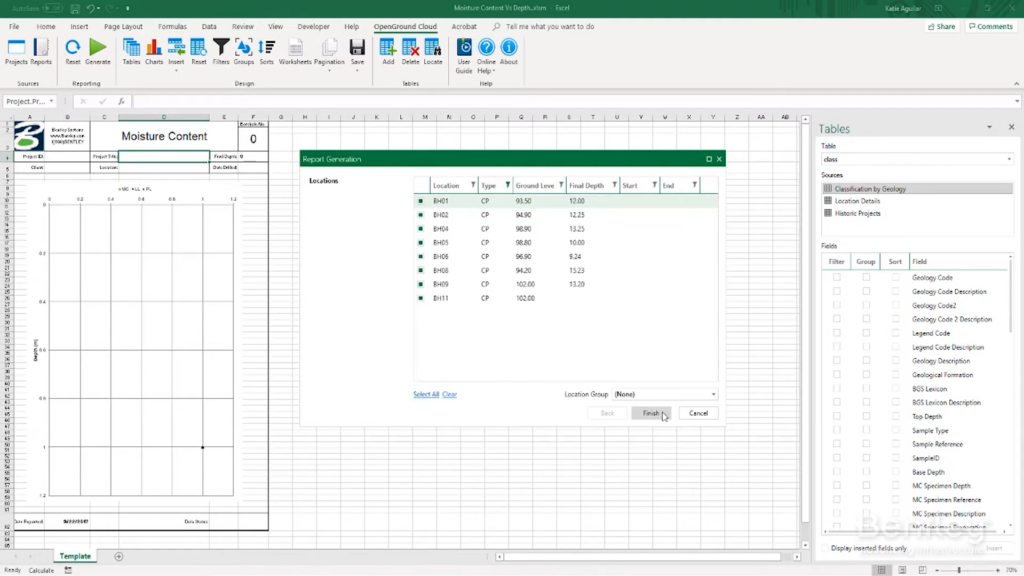
OpenGround provides a complete solution for geotechnical information management, allowing engineers to develop highly detailed databases of soil and rock strata. Built on a scalable cloud architecture, OpenGround combines data entry tools with advanced reporting functionality to support every phase of site investigation.
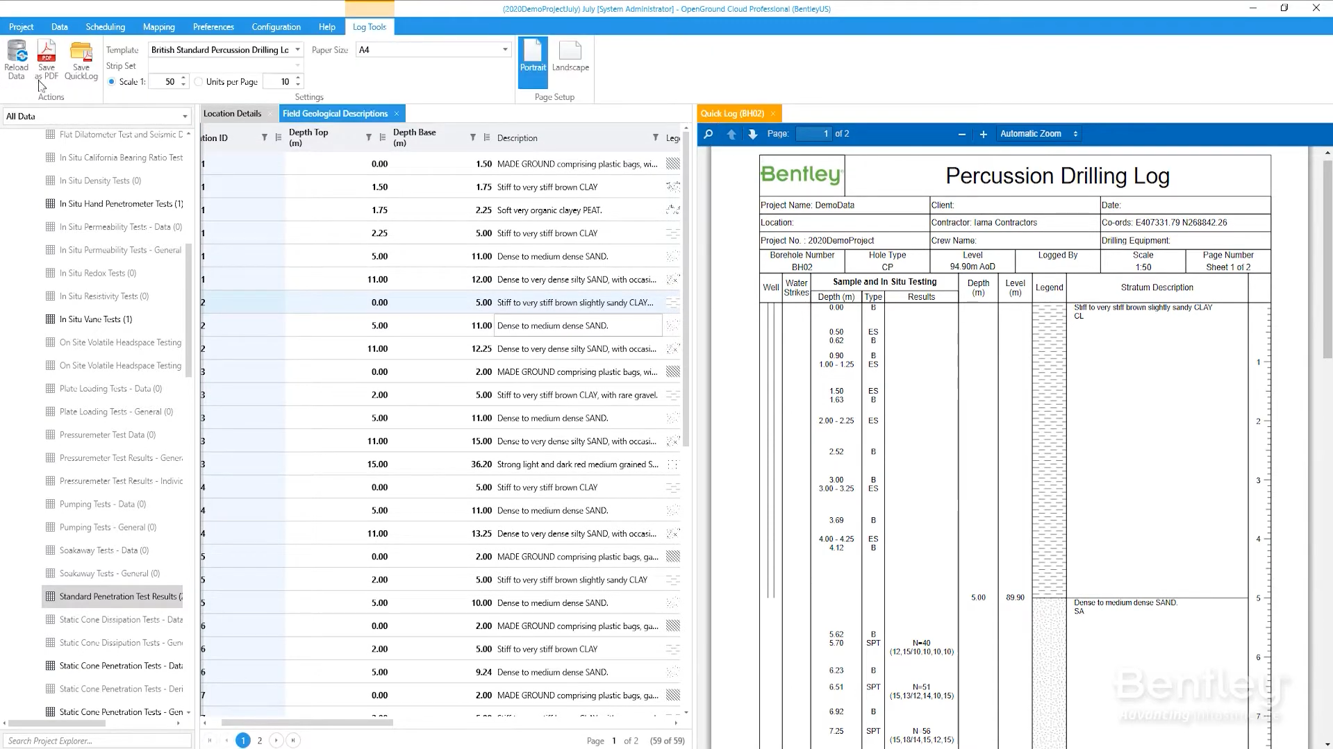
The software enables users to create standardized borehole logs, manage complex laboratory schedules, and integrate geotechnical data with surrounding civil infrastructure models. By connecting subsurface data with digital twin technologies, OpenGround improves visibility across project stakeholders and supports better decision-making throughout planning, design, and construction. Using OpenGround, teams can work more efficiently while ensuring compliance with international geotechnical standards and project-specific data requirements.
OpenGround supports a wide range of geotechnical and environmental projects across infrastructure, mining, and energy sectors.
Key applications include:
Centralized geotechnical data management and cloud storage
Digital field data collection and borehole logging
Management of laboratory testing schedules and results
Generation of standardized geotechnical reports and logs
Integration of subsurface data with 3D design and BIM workflows
Long-term archival and retrieval of historical ground investigation data
Real-time collaboration between site teams and office-based engineers
Visualization of geotechnical data within a spatial (GIS) context
These capabilities allow engineers and planners to manage geotechnical data more effectively, leading to safer and more cost-optimized infrastructure designs.
Watch a introductory video for OpenGround
View the product video on YouTube to learn more about its capabilities, workflows, and use cases.
OpenFlows is Bentley Systems’ advanced hydraulic and hydrologic modelling suite used to plan, design, and operate resilient water infrastructure. At ...