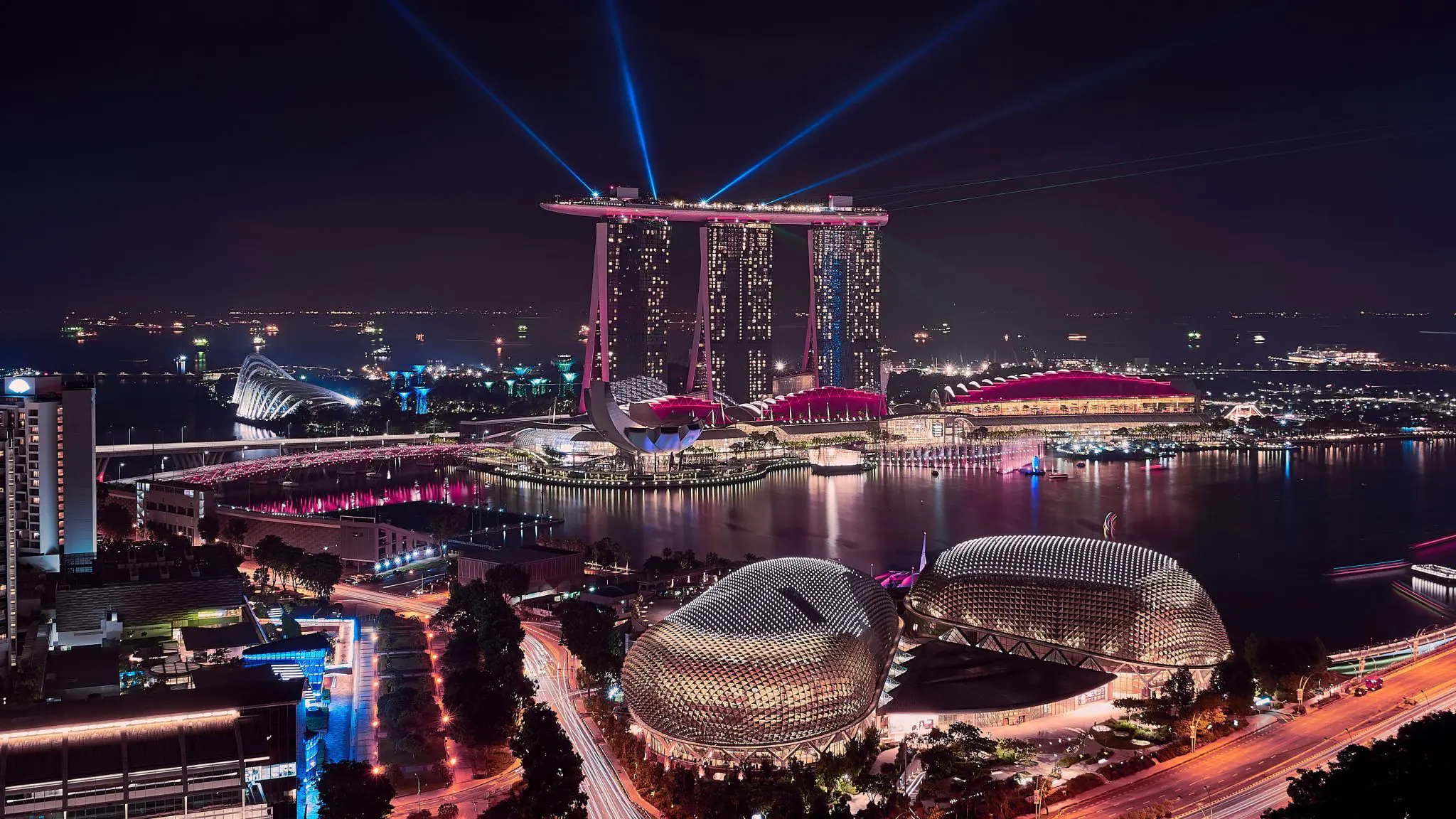
Singapore aimed to develop a comprehensive digital model of the entire city to support urban planning, infrastructure management, and public engagement. The project required integrating large volumes of geospatial, building, and infrastructure data into a single, cohesive digital environment.
A major challenge was the scale and complexity of modeling an entire nation with high accuracy while ensuring that the data remained usable for multiple stakeholders, including government agencies, planners, and researchers. The project also needed to support advanced analysis, simulation, and visualization capabilities to improve decision-making and urban development strategies.
To address these challenges, the project team used Bentley’s ContextCapture to create a high-resolution 3D reality mesh of Singapore, forming the foundation of a national digital twin.
The digital model integrated multiple data sources, enabling accurate representation of buildings, terrain, and infrastructure. This unified environment allowed stakeholders to visualize the city, run simulations, and analyze urban scenarios more effectively.
By leveraging reality modeling and digital twin technologies, the team established a scalable platform capable of supporting a wide range of applications, from urban planning to environmental analysis.
Software Used: ContextCapture
Solution
Results
The project successfully delivered a detailed digital representation of Singapore, enabling improved urban planning, analysis, and collaboration across multiple agencies.
The digital twin enhanced the ability to simulate real-world conditions, evaluate development scenarios, and make more informed decisions. It also provided a shared platform that improved coordination between stakeholders and supported more efficient management of urban infrastructure.
The initiative demonstrated the potential of large-scale digital twins in transforming how cities are planned, managed, and experienced.